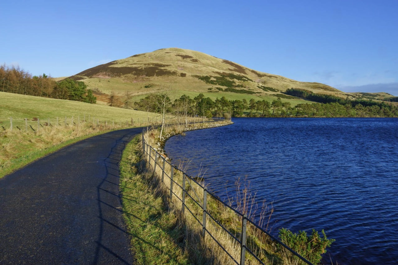
Originally engineered as a vital component in river flow regulation, Harlaw Reservoir was instrumental in the region’s industrial growth. Having retired from its duties as a public water supplier, the reservoir has found a new purpose as a crucial flood defence tool. Today, its banks are a haven for anglers, ramblers, and nature enthusiasts. Read more on edinburghname.
The Origins and Evolution of Harlaw
Faced with increasing strain on existing water sources, the Edinburgh Water Company began planning new reservoirs within the Pentland Hills, with the Harlaw Reservoir project taking centre stage. Construction was carried out between 1843 and 1848 on the Bavelaw Burn. The project was far from straightforward; the rugged highland terrain and unstable soils posed significant engineering challenges, necessitating massive earthworks. In an era before mechanisation, every aspect of construction was carried out entirely by hand. It was a prolonged and physically gruelling undertaking, relying solely on the back-breaking toil of local labourers. Initially, Harlaw served primarily as a compensation reservoir. Its main function was to maintain stable water levels in the Water of Leith and Bavelaw Burn, which was critical for the operation of the mills located downstream.
Simultaneously, the system allowed for the diversion of approximately 160 cubic feet of water per minute from these hill sources for public consumption. Channeled through a network of stone aqueducts and cast-iron pipes to intermediate cisterns, the water was then distributed by gravity to Edinburgh, Leith, Portobello, and surrounding settlements.
By the latter half of the 19th century, Harlaw had been integrated into a unified network alongside other reservoirs, such as Threipmuir and Torduff, dramatically boosting the total water supply. Following the completion of additional infrastructure in 1853, the system was capable of delivering hundreds of thousands of gallons of water every hour. A key advantage was the pristine quality of the mountain water. This significantly reduced contamination risks and played a vital role in improving the city’s sanitation during a period of rapid urbanisation. By the turn of the century, as the population surpassed 200,000, the facility became essential for regulating seasonal fluctuations in water flow.
As more ambitious water supply schemes were developed, Harlaw Reservoir’s role in providing drinking water began to recede. With the commissioning of the Talla Reservoir in 1905—which piped vast quantities of water from the distant Tweed Valley—the reliance on smaller local reservoirs diminished significantly. These modern engineering solutions offered greater stability and were better suited to the city’s growing demands. Consequently, by the 1950s, Harlaw was increasingly relegated to maintaining flow levels and balancing the water table in local rivers.
Over time, the perception of Harlaw Reservoir shifted conceptually. Since the 1970s, locals had informally used the water for angling, but this eventually evolved into an organised system with clear access rules and resource management. After finally ceasing its function as a drinking water source in the early 2000s, management of the reservoir was transferred to the City of Edinburgh Council in 2006. Since then, the primary objectives have shifted towards flood risk mitigation, landscape conservation, and the support of local biodiversity.
The Legacy and Significance of Harlaw
For over a century, Harlaw Reservoir has remained a cornerstone of the economic, infrastructural, and natural development of Edinburgh’s outskirts. Its historical achievement lies in its success as a compensation reservoir, keeping the Water of Leith stable for industry. In a modern context, it plays a pivotal role in the region’s flood defence strategy, holding back storm waters in the headwaters to protect communities downstream. Simultaneously, the stocked waters attract sport fishing enthusiasts, while the surrounding grounds are popular for hiking, orienteering, and geological study.